
Interactive World Maps GPL Overview:
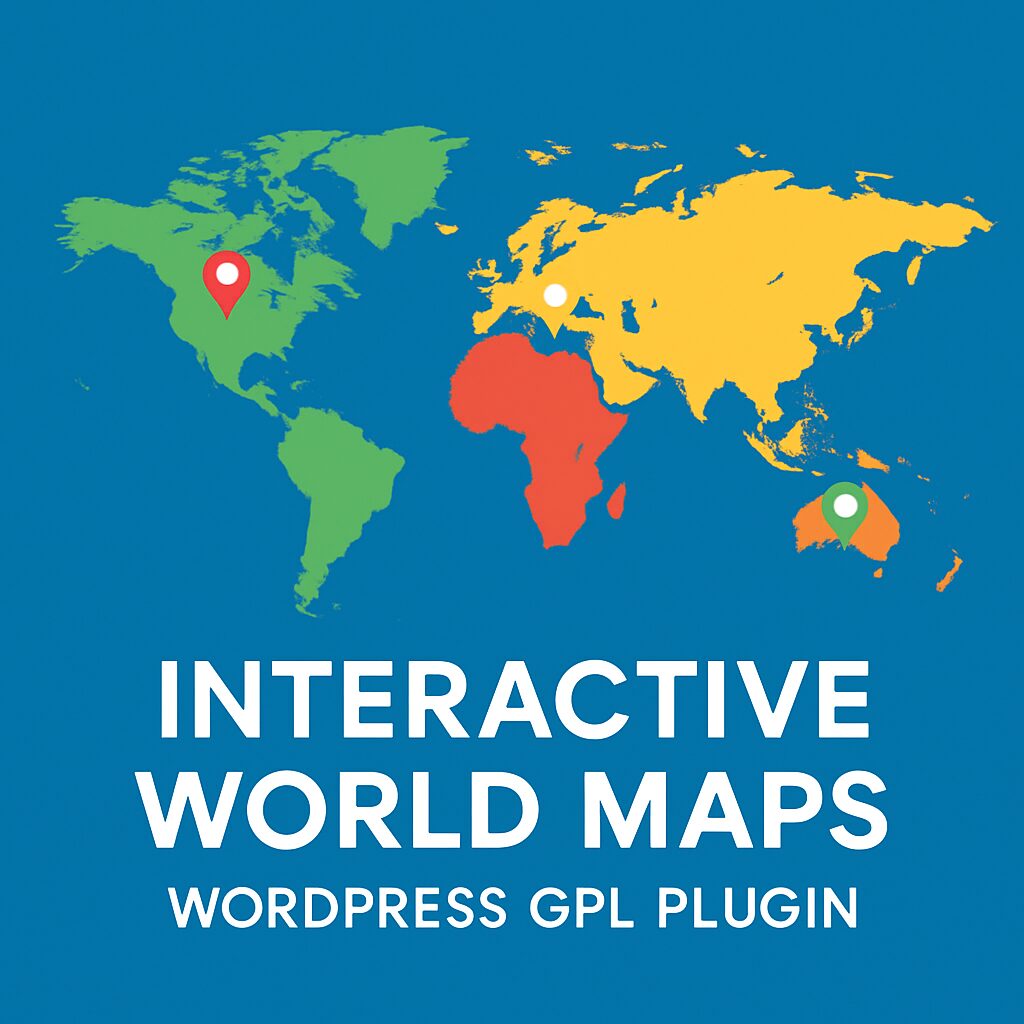
This is a WordPress plugin to create as many maps as you want, with interactive and colored markers, continents, countries or regions.
(Check out the standalone non-WordPress version here)
THIS PLUGIN IS IN MAINTENANCE MODE AND WILL ONLY RECEIVE IMPORTANT SECURITY UPDATES. NEW FEATURES ARE NOT PLANNED.
Show Different Regions
You will be able to show hundreds of different kinds of maps, already included:
- A map of the entire world.
- A continent or a sub-continent. (Africa, Europe, Americas, Asia, Oceania and all their sub-continents)
- A country. (virtually all the countries in the world are included, featuring the most requested: USA, United Kingdom, Canada, France, Germany, Spain, Italy, Brazil, India, Australia…)
- A country is divided by its regions. *
- A state in the United States.
- The United States is divided into metropolitan areas.
- A state in the United States is divided into metropolitan areas.
Color Regions or add Markers
You can add active colored regions to the map, and display them in 2 different ways:
- As Regions – It will color the whole region, for example, a continent, subcontinent, country, country province, or a US state.
- As Markers -It will display a colored bubble in the chosen regions, which can be a city, a state or a country.
Add Interactivity
You can add interactivity to the active regions:
- A Tooltip– A tooltip will be displayed by default on hover with the information you provide.
- An Action? You can set up different kinds of actions for when the user clicks in an active area. You can make a new URL open, or simply display a message. Advanced users will be able to create their own Javascript functions for customized actions, like opening information with a lightbox effect.
Customizable
You will be able to customize the visual of your maps:
- Background color;
- Box border width and color;
- Inactive regions color;
- Individual colors for each active region;
- Markers size;
- Width and Height of the map;
Add the Maps anywhere on your website
You can use a shortcode to include the maps in posts, pages and even in sidebar widgets! You can also add the maps to your template, with a simple php function.
Responsive
If no width is specified it will load with the maximum width available in the container div. For example, it will load and adapt with different sizes for phones/ipads/laptops. However, after loaded, it will not change size if you resize the window.
Since the plugin includes an option to make the maps fully Responsive. This will use jQuery to check if the window size changed and will redraw the map with the new available space.
Cross-device and browser compatible
The maps are built in SVG, no flash is used and therefore they will display in Mac products.
CSS Hacks made easy
There are a few features that the Google Geochart API doesn’t provide by default, but the plugin provides a ‘Custom CSS Generator’ to help implement some features like the hover colour change effect, implementing font icons as markers, and changing the border colour, among others.
Where to use it?
This plugin is perfect for:
- Travel Websites – Create maps to display destinations and link to pages about a specific location
- Traveler Website – Display a map with destinations/countries visited
- Multinational Companies – Create maps of the cities/countries where they operate
- Small Companies – Show the location of the business in a country map
- NGOs – Create maps of NGO projects around the world
- Infographics – Display simple-to-read maps with various information
- And much more other applications! Be creative!
Compatible with all the popular WordPress Themes
Including:
- Divi – by ElegantThemes
- Avada
- X Theme
This plugin uses the powerful Google Geochart API which creates SVG vector maps.
Featured in
- Create Interactive World Maps with WordPress – wpContent.co.uk
- WPNuggets – Interactive World Maps Plugin Review
- WPMU – 7 WordPress Map Plugins That Put The World At Your Fingertips
- Tripwire Magazine – 75+ Best WordPress Plugins? Want an Unfair Advantage?
- Item Collection – Great for Politics
- Come creare mappe geografiche interattive e personalizzate (Italian)
Notes
* The maps of countries divided by regions include the main regions of the specified country. The plugin calls all of them ‘Provinces’ but in reality, they could be states, regions, provinces or counties, depending on the country. They are the first level of division of a country. In the particular case of the UK, it only includes 4 regions (ENG, NIR, SCT and WLS). The maps of some small countries divided by regions are not available, since the country is too small (Malta for example). If you need to make sure a map divided by regions is available, contact us via the support tab.
About Interactive World Maps
Interactive World Maps is a premium WordPress plugin developed by Carlos Moreira. Create interactive maps and put them anywere on your website, including posts, pages and widgets. You can set the view to the whole world, a continent, a specific country or a US state. You can color full regions or just create markers on specific locations that will have information on hover and can also have actions on click. This plugin uses the Google GeoChart API to render the maps. It is distributed under the GPL v2 or later licence, which means you can install it on an unlimited number of websites — including websites you build and manage for your clients.
Compatibility & Requirements
Interactive World Maps requires WordPress 5.0 or later, and has been tested up to WordPress 6.7, and requires PHP 7.4 or higher. We verify every file before it goes live on our store, so you can install with complete confidence. Text domain: interactive-world-maps. This listing reflects version , updated within 24 hours of the upstream release.
What Does GPL Mean for You?
GPL, or General Public License, is the open-source license that powers WordPress and the entire ecosystem built around it. When a plugin like Interactive World Maps carries a GPL license, you receive the legal right to install it on any number of websites, customise the code to fit your project, and even share it with others. You are paying for the convenience of our hosting, verification, and instant delivery service — not for a restricted seat licence.
Why Download from digitalgpl
- Latest version guaranteed – Interactive World Maps matches the most recent upstream release.
- Unlimited domain usage – Personal sites, client projects, and staging servers are all covered.
- Instant delivery, 24×7 – Your download link arrives immediately after payment, day or night.
- Verified before listing – Every file is tested for clean installation and conflict-free activation.
- Encrypted checkout – Payments are processed through 256-bit SSL secured gateways.
- No renewal fees – One payment covers you indefinitely. No subscriptions, no surprises.
Before You Download — Quick Answers
Will Interactive World Maps break my existing site?
Interactive World Maps has been tested up to WordPress 6.7 and PHP 7.4. We recommend always testing on a staging site before installing on live production.
I build sites for clients — is one purchase enough?
One purchase covers unlimited installations. The GPL v2 or later licence that Interactive World Maps is released under has no domain or site limits — neither does digitalgpl.
My host uses PHP 7.4 — any issues?
None at all. Interactive World Maps requires PHP 7.4 as a minimum version, so your hosting environment is perfectly compatible.
What if Carlos Moreira releases an update next month?
Log into your digitalgpl account and re-download for free. We keep our files current within 24 hours of any upstream release.
Is it safe to buy a GPL plugin from a third-party store?
Yes. The GPL licence was created specifically to allow this. Any developer who releases software under GPL grants everyone the legal right to redistribute it. That is the foundation of the open-source WordPress community.
Official developer page: https://cmoreira.net/interactive-world-maps-plugin




Reviews
There are no reviews yet.